Space Is Everywhere: How Satellite Data Powers Industries Beyond the Stars
10 Oct 2025
4 min read
This website will offer limited functionality in this browser. We only support the recent versions of major browsers like Chrome, Firefox, Safari, and Edge.
/Passle/5d9604688cb6230bac62c2d0/SearchServiceImages/2025-10-10-13-37-34-623-68e90c1e830c7c764ba4a73b.jpg)


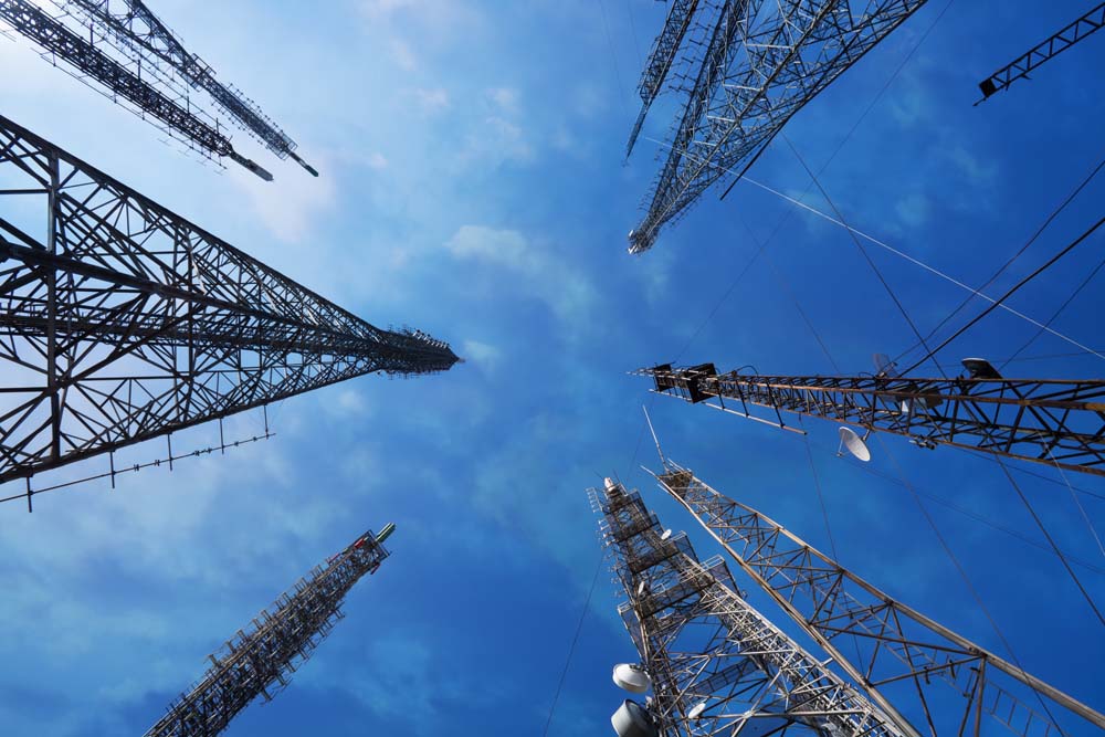
When most people think of space, they imagine rockets, astronauts, and distant planets. But the reality is far more grounded. Space is not a siloed sector—it’s a foundational enabler of innovation and efficiency across industries we interact with every day. From agriculture to finance, satellite data and space-based technologies are transforming how businesses operate and make decisions.
To underline its importance, space is one of the 13 Critical National Infrastructure (CNI) sectors, meaning its loss or compromise could severely impact the delivery of essential services or have significant impact on national security, national defence, or the functioning of the state.
In this short series, I’ll look at some of the ways in which space and satellite data is being utilised on a daily basis, and how it is integral to our way of life. This first part will look at agriculture, environmental monitoring and maritime and fishing.
Agriculture: Precision from Above
Agriculture is fundamental to our existence, yet the conditions it faces are constantly changing. The industry must adapt and innovate to overcome the challenges brought about by unpredictable climates, dwindling resources, and escalating costs.
As such, farmers are increasingly turning to satellite imagery and GIS (Geographic Information Systems) data to monitor crop health, optimise irrigation, and predict yields.
Farmers can use such data to improve resource allocation and it enables precise identification of areas requiring water or pesticide application.
By analysing the data, agricultural businesses can make data-driven decisions that reduce waste, improve productivity, and enhance sustainability. This is precision agriculture in action—powered by space.
Environmental Monitoring: Eyes on the Earth
Climate scientists and environmental agencies use satellite data to track deforestation, monitor air and water quality, and assess the impact of natural disasters in real-time. This information is vital for policy-making, conservation efforts, and disaster response.
A key benefit of satellite monitoring lies in its capacity to collect information from regions that are otherwise inaccessible, surpassing the limitations of traditional ground-based approaches. Satellites are able to record variables such as temperature, concentrations of greenhouse gases, and changes in sea level across extensive areas—including remote locations like the polar regions—in real time. This worldwide coverage enables scientists to develop a more comprehensive and up-to-date understanding of the effects of climate change.
Furthermore, satellites offer ongoing data collection, as they are engineered for long-term missions that can last for many years or even decades. This consistency ensures that researchers can observe gradual shifts over extended periods, resulting in robust datasets that are invaluable for analysing long-term trends and constructing predictive models.
Maritime & Fisheries: Tracking the Blue Economy
Space and satellite data have become indispensable tools for monitoring the world’s oceans, supporting maritime safety, sustainable fisheries, and marine conservation. Satellites equipped with advanced sensors continuously collect data on ocean temperature, salinity, currents, and sea surface height, providing a global perspective that traditional methods cannot match. This real-time, high-resolution data is vital for tracking ocean health, forecasting weather patterns, and understanding the impacts of climate change on marine ecosystems.
In fishing, satellites help authorities monitor fish stocks, detect illegal fishing activities, and enforce regulations. Automatic Identification System (AIS) data from satellites allows for the tracking of vessels across vast waters, supporting compliance and sustainability efforts. Earth observation satellites can observe large areas of the ocean, providing information on key factors influencing fish habitats and productivity.
Satellite imagery also plays a crucial role in maritime safety, guiding ships safely and optimising routes by providing near-real-time updates on sea conditions. The integration of satellite data with artificial intelligence and underwater drones is enhancing our ability to monitor remote regions, track plastic debris, and study coral reef health
Breaking the Silo
Space is not just about exploration—it’s about integration. The data and technologies developed for space applications are deeply embedded in our daily lives and critical to the functioning of diverse industries.
Recognising space as a horizontal enabler rather than a vertical silo is key to unlocking its full value. If you’re looking to invest—or thinking about backing a so-called ‘space company’—it’s time to shift your perspective. Space isn’t just the next big thing; it’s the backbone of our modern world, powering progress across every industry.
![]() Thought leadership
Thought leadership
24 July 2026
/Passle/5d9604688cb6230bac62c2d0/SearchServiceImages/2026-07-24-14-49-12-411-6a637b68ac33e1303230d49a.jpg)
![]() Legal updates
Legal updates
23 July 2026

/Passle/5d9604688cb6230bac62c2d0/SearchServiceImages/2026-07-23-14-59-19-368-6a622c47e61f23f448d68c9c.jpg)
/Passle/5d9604688cb6230bac62c2d0/SearchServiceImages/2026-07-22-16-28-17-624-6a60efa1f739d4b2969c17e5.jpg)
/Passle/5d9604688cb6230bac62c2d0/SearchServiceImages/2026-06-18-18-21-04-966-6a34371005282cc6e3bbd180.jpg)
![]() Thought leadership
Thought leadership
21 July 2026
/Passle/5d9604688cb6230bac62c2d0/SearchServiceImages/2026-07-21-18-40-24-260-6a5fbd1870261d54eb6209d6.jpg)
![]() Thought leadership
Thought leadership
21 July 2026
/Passle/5d9604688cb6230bac62c2d0/SearchServiceImages/2026-07-08-14-07-42-488-6a4e59aec23baf30e45360b0.jpg)
![]() Thought leadership
Thought leadership
17 July 2026
/Passle/5d9604688cb6230bac62c2d0/SearchServiceImages/2026-07-17-11-37-35-385-6a5a13ff0200e5cf71cc03a6.jpg)

Want more Burges Salmon content? Add us as a preferred source on Google to your favourites list for content and news you can trust.
Update your preferred sourcesBe sure to follow us on LinkedIn and stay up to date with all the latest from Burges Salmon.
Follow us